Metadata
Showing
2
of
2
records
(filtered)
| Preview |
Title
|
Abstract
|
Country
|
INSPIRE Theme
|
Publication Date
|
Responsible Party
|
Topic Categories
|
Keywords
|
Access Constraints
|
Actions |
|---|---|---|---|---|---|---|---|---|---|---|
|
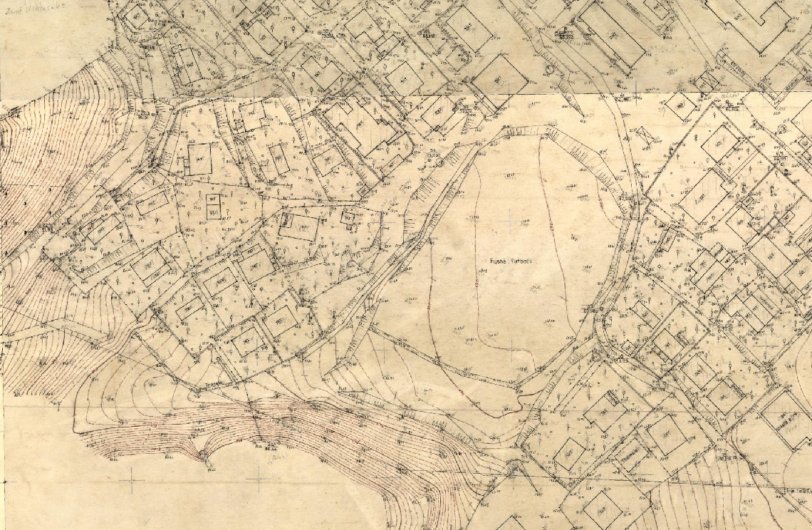
Base Map Image, Cities (AQTN) | The 1:500 scale plates were created using the tachymetric method by the former Geology-Geodesy enterprise. The main task of this … | Albania | Jan. 1, 2018 | Central Technical Archive of Construction | copyright |
|
|||

|
Nomenclature 1:500 Cities (AQTN) | The creation of the 1:500 nomenclature for the cities of Tirana, Durrës, Kavajë, Rrogozinë, Shijak, Krujë, Vorë, Shkodër, Lezhë, Laç, … | Albania | Feb. 15, 2022 | State Authority for Geospatial Information | copyright |
|
Showing
2
of
2
records