Metadata
Showing
4
of
4
records
(filtered)
| Preview |
Title
|
Abstract
|
Country
|
Resource Type
|
Publication Date
|
Responsible Party
|
Topic Categories
|
Keywords
|
Access Constraints
|
Actions |
|---|---|---|---|---|---|---|---|---|---|---|
|
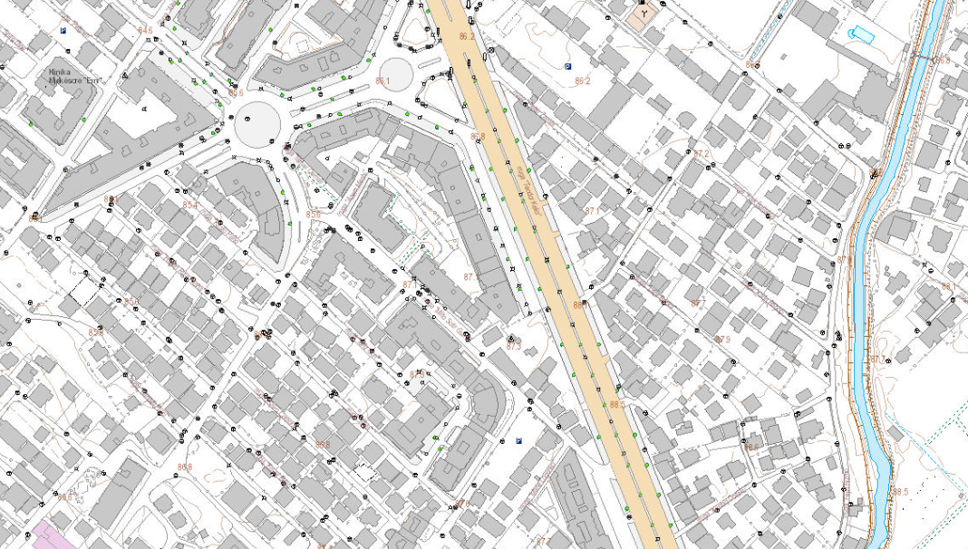
Base Map Image, Topographic Map 1:2000 | Base map of scale 1:2 000 in Image (raster) format, created by the State Authority for Geospatial Information (ASIG) in … | Albania | Dataset | June 29, 2022 | State Authority for Geospatial Information | copyright |
|
||

|
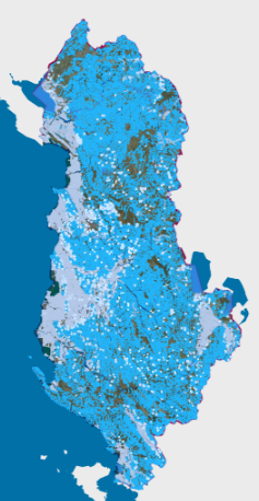
basins | Information on the new hydrographic division approved by DCM No. 696, dated 30.10.2019 "On the determination of the territorial, hydrographic … | Albania | Dataset | Nov. 18, 2019 | Water Resources Management Agency | copyright |
|
||
|
Hydrographic Network | Rivers, lakes and water bodies of Albania | Albania | Dataset | April 15, 2023 | ASIG | none |
|
||
|
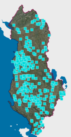
Large Dams | The National Register of Large Dams (RMD) 2021 was conceived by the National Committee of Large Dams (NCLD) with its … | Albania | Dataset | Dec. 10, 2021 | National Committee of Large Dams | copyright |
|
Showing
4
of
4
records