Metadata
Showing
3
of
3
records
(filtered)
Applied filters:
Country: Albania
×
Topic Category: imageryBaseMapsEarthCover
×
Keywords: Impulse
×
Clear all filters
| Preview |
Title
|
Abstract
|
Country
|
INSPIRE Theme
|
Publication Date
|
Responsible Party
|
Topic Categories
|
Keywords
|
Access Constraints
|
Actions |
|---|---|---|---|---|---|---|---|---|---|---|
|
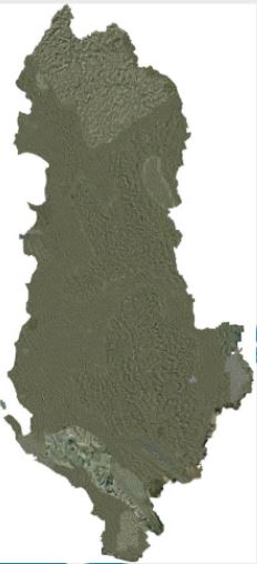
Orthophoto 2007 | Orthophoto, produced from aerial photography of 2007 for the territory of Albania, divided into three lots. The first lot with … | Albania | Jan. 1, 2015 | State Cadastral Agency | copyright |
|
|||
|
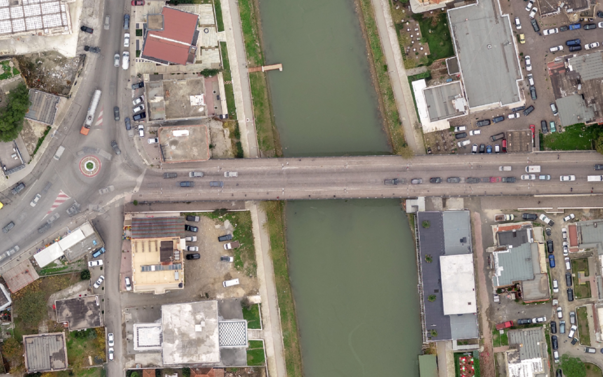
Orthophoto 2015 (8cm) | Orthophoto for urban areas in Albania, year 2015, first batch, created from aerial photography of 2015. With a resolution of … | Albania | Oct. 26, 2016 | State Authority for Geospatial Information | copyright |
|
|||
|
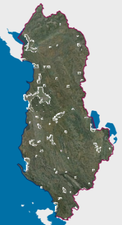
Orthophoto 2019 (UAV) | Orthophoto year 2019, drone photography of 24 urban areas with a resolution of 4 cm/pixel. The data are in accordance … | Albania | Jan. 1, 2020 | State Authority for Geospatial Information | copyright |
|
Showing
3
of
3
records