Metadata
Showing
2
of
2
records
(filtered)
| Preview |
Title
|
Abstract
|
Country
|
INSPIRE Theme
|
Publication Date
|
Responsible Party
|
Topic Categories
|
Keywords
|
Access Constraints
|
Actions |
|---|---|---|---|---|---|---|---|---|---|---|
|
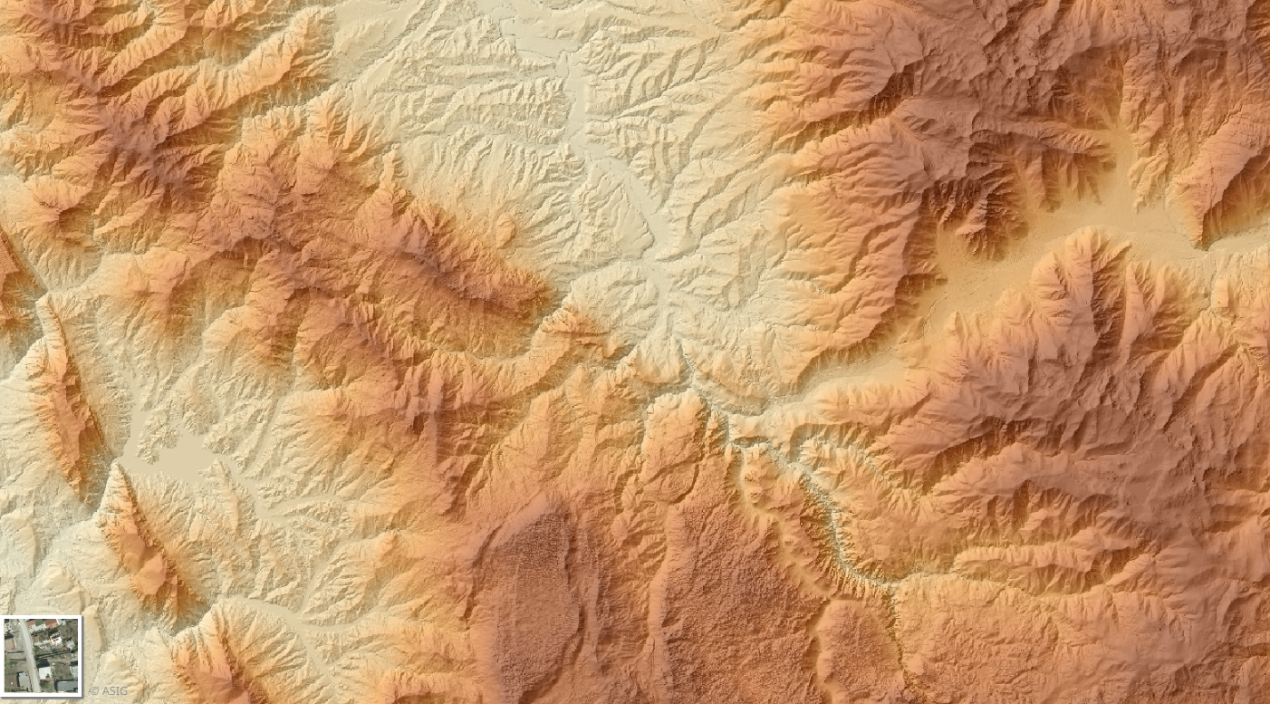
Digital Terrain Model (MDT 2015- 2017) 3D | The Digital Terrain Model (DTM) describes the three-dimensional shape of the Earth's surface, including all static features located on it. … | Albania | Sept. 16, 2019 | State Authority for Geospatial Information | copyright |
|
|||

|
Orthophoto 2024-2025 (UAV) | Orthophotos created with UAV technology enable the provision of updated geospatial data for areas with high development intensity. The data … | Albania | Aug. 21, 2025 | State Authority for Geospatial Information | copyright |
|
Showing
2
of
2
records