Metadata
Showing
3
of
3
records
(filtered)
| Preview |
Title
|
Abstract
|
Country
|
INSPIRE Theme
|
Publication Date
|
Responsible Party
|
Topic Categories
|
Keywords
|
Access Constraints
|
Actions |
|---|---|---|---|---|---|---|---|---|---|---|
|
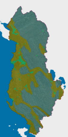
Orthoimagery overlay 2015 | Information on coverage areas and technical specifications of orthoimagery for the years 2015-2017. The data are in accordance with the … | Albania | March 16, 2018 | State Authority for Geospatial Information | copyright |
|
|||
|
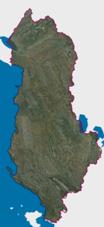
Orthophoto 2015 (20cm) | RGB orthophoto period 2015-2017 with a resolution of 20 cm per pixel covering the territory of the Republic of Albania. … | Albania | Dec. 1, 2017 | State Authority for Geospatial Information | copyright |
|
|||
|
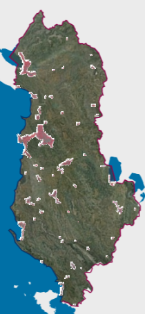
Orthophoto CIR 2015 (8cm) | Orthophoto for the territory of the Republic of Albania with an image in the Infrared format (CIR). The data are … | Albania | April 16, 2018 | State Authority for Geospatial Information | copyright |
|
Showing
3
of
3
records