Metadata
Showing
2
of
2
records
(filtered)
Applied filters:
Country: Albania
×
Responsible Party: State Authority for Geospatial Information
×
Keywords: UAV
×
Clear all filters
| Preview |
Title
|
Abstract
|
Country
|
INSPIRE Theme
|
Publication Date
|
Responsible Party
|
Topic Categories
|
Keywords
|
Access Constraints
|
Actions |
|---|---|---|---|---|---|---|---|---|---|---|
|
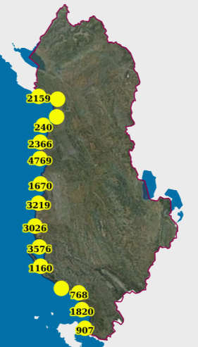
Monitoring, Coastal (UAV) (2019) | Photography of the coastline of the Republic of Albania with "UAV" technology for the year 2019. This dataset will be … | Albania | Feb. 13, 2024 | State Authority for Geospatial Information | copyright |
|
|||
|
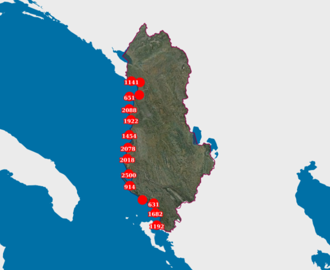
Monitoring, Coastal (UAV) (2022) | Photography of the coastline of the Republic of Albania with "UAV" technology. This data set will be used by ASIG … | Albania | July 22, 2022 | State Authority for Geospatial Information | copyright |
|
Showing
2
of
2
records