Metadata
Showing
3
of
3
records
(filtered)
Applied filters:
Country: Bosnia and Herzegovina
×
Topic Category: location
×
Keywords: National
×
Clear all filters
| Preview |
Title
|
Abstract
|
Country
|
INSPIRE Theme
|
Publication Date
|
Responsible Party
|
Topic Categories
|
Keywords
|
Access Constraints
|
Actions |
|---|---|---|---|---|---|---|---|---|---|---|
|
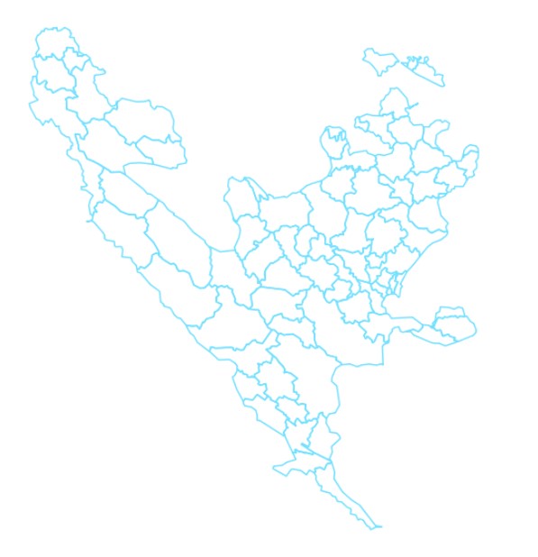
Administrative units | The data set of administrative units according to the Register of Spatial Units contains boundaries, names and codes for the … | Bosnia and Herzegovina | None | Federal Administration for Geodetic and Property Legal Affairs | other Restrictions |
|
|||
|
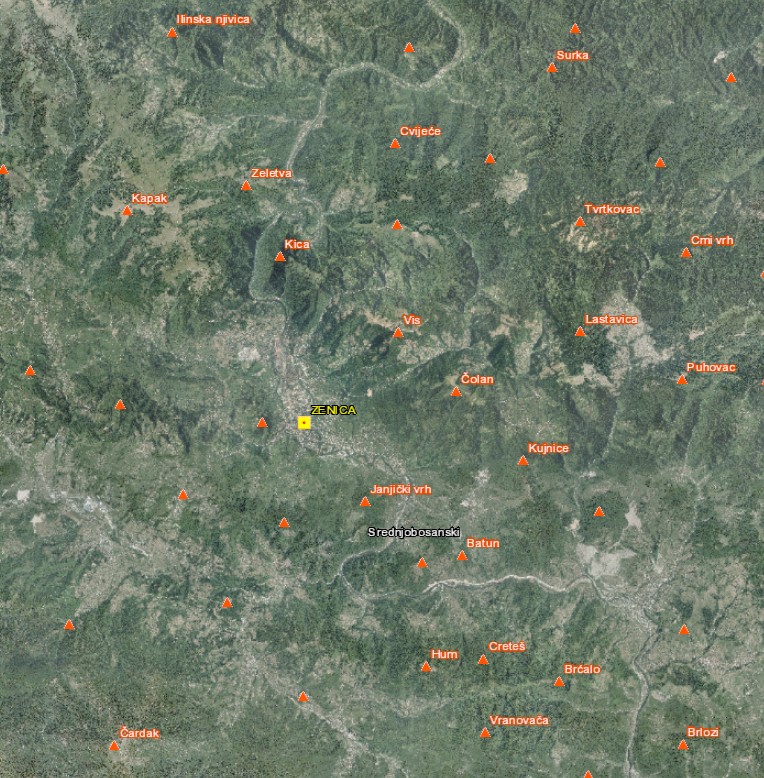
Geographical names | The Register of Geographic Names contains geographical names in the territory of the Federation of Bosnia and Herzegovina from the … | Bosnia and Herzegovina | None | Federal Administration for Geodetic and Property Legal Affairs | other Restrictions |
|
|||
|
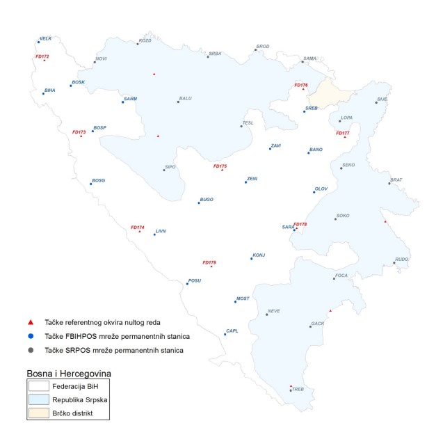
Spatial reference system | The spatial reference system of the Federation of Bosnia and Herzegovina is a geocentric terrestrial reference system which, by definition … | Bosnia and Herzegovina | Feb. 1, 2019 | Federal Administration for Geodetic and Property Legal Affairs | other Restrictions |
|
Showing
3
of
3
records