Metadata
Showing
3
of
3
records
(filtered)
| Preview |
Title
|
Abstract
|
Country
|
INSPIRE Theme
|
Publication Date
|
Responsible Party
|
Topic Categories
|
Keywords
|
Access Constraints
|
Actions |
|---|---|---|---|---|---|---|---|---|---|---|
|
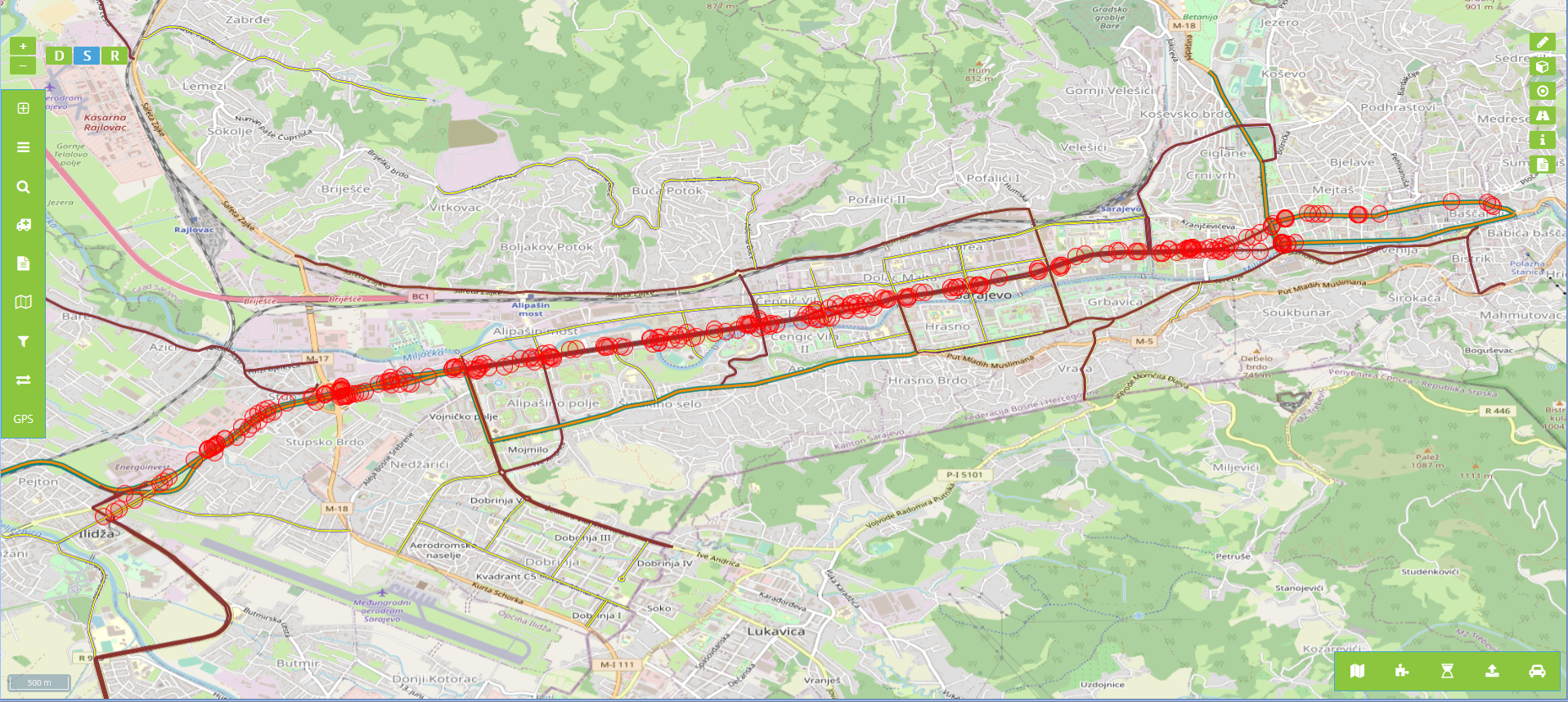
Billboards in the protective zone of road communication under the jurisdiction of the Road Directorate of the Sarajevo Canton | Billboards in the protective zone of the road communication under the jurisdiction of the Sarajevo Canton Road Directorate consist of … | Bosnia and Herzegovina | Jan. 1, 2020 | Sarajevo Canton Road Directorate | other Restrictions |
|
|||

|
OpenStreetMap Points of Interest Points for Bosnia and Herzegovina | Points of interest locations from OpenStreetMap for Bosnia and Herzegovina | Bosnia and Herzegovina | Oct. 19, 2024 | OpenStreetMap Contributors | Open Database License |
|
|||
|
|
OpenStreetMap Points of Interest Polygons for Bosnia and Herzegovina | Points of interest areas from OpenStreetMap for Bosnia and Herzegovina | Bosnia and Herzegovina | Oct. 19, 2024 | OpenStreetMap Contributors | Open Database License |
|
Showing
3
of
3
records