Metadata
Showing
3
of
3
records
(filtered)
Applied filters:
Country: Serbia
×
Responsible Party: Republic Geodetic Authority
×
Keywords: Building
×
Clear all filters
| Preview |
Title
|
Abstract
|
Country
|
INSPIRE Theme
|
Publication Date
|
Responsible Party
|
Topic Categories
|
Keywords
|
Access Constraints
|
Actions |
|---|---|---|---|---|---|---|---|---|---|---|
|
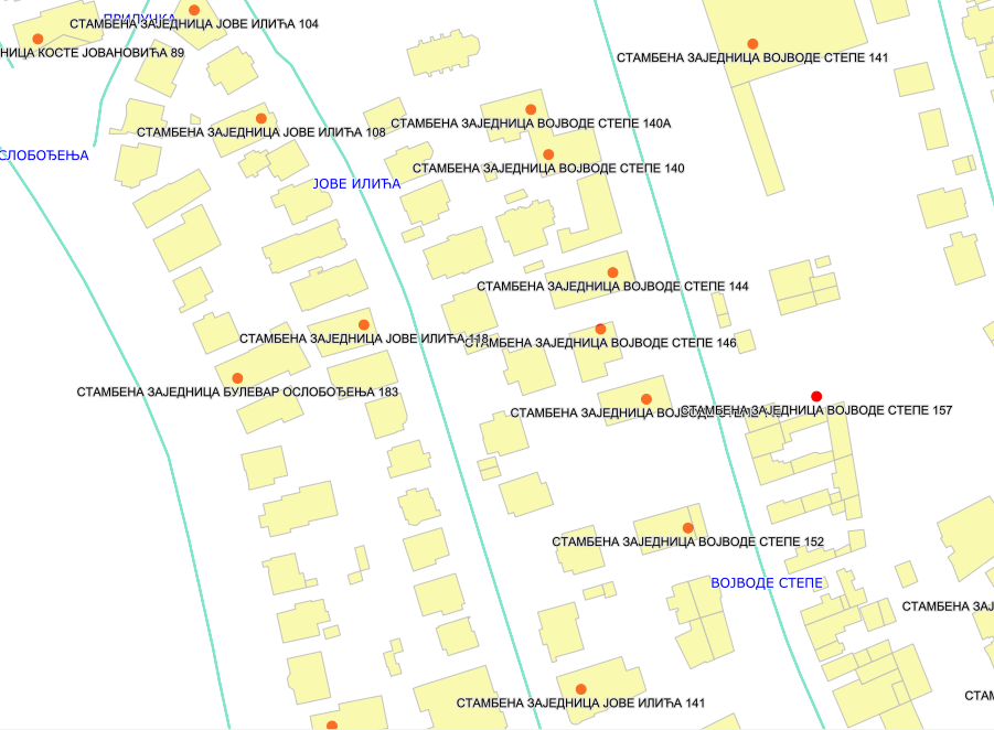
Condominium registrar | The Condominium register is an electronic database and documents that contain data on registered joint units on the territory of … | Serbia | June 13, 2017 | Republic Geodetic Authority | otherRestrictions |
|
|||
|
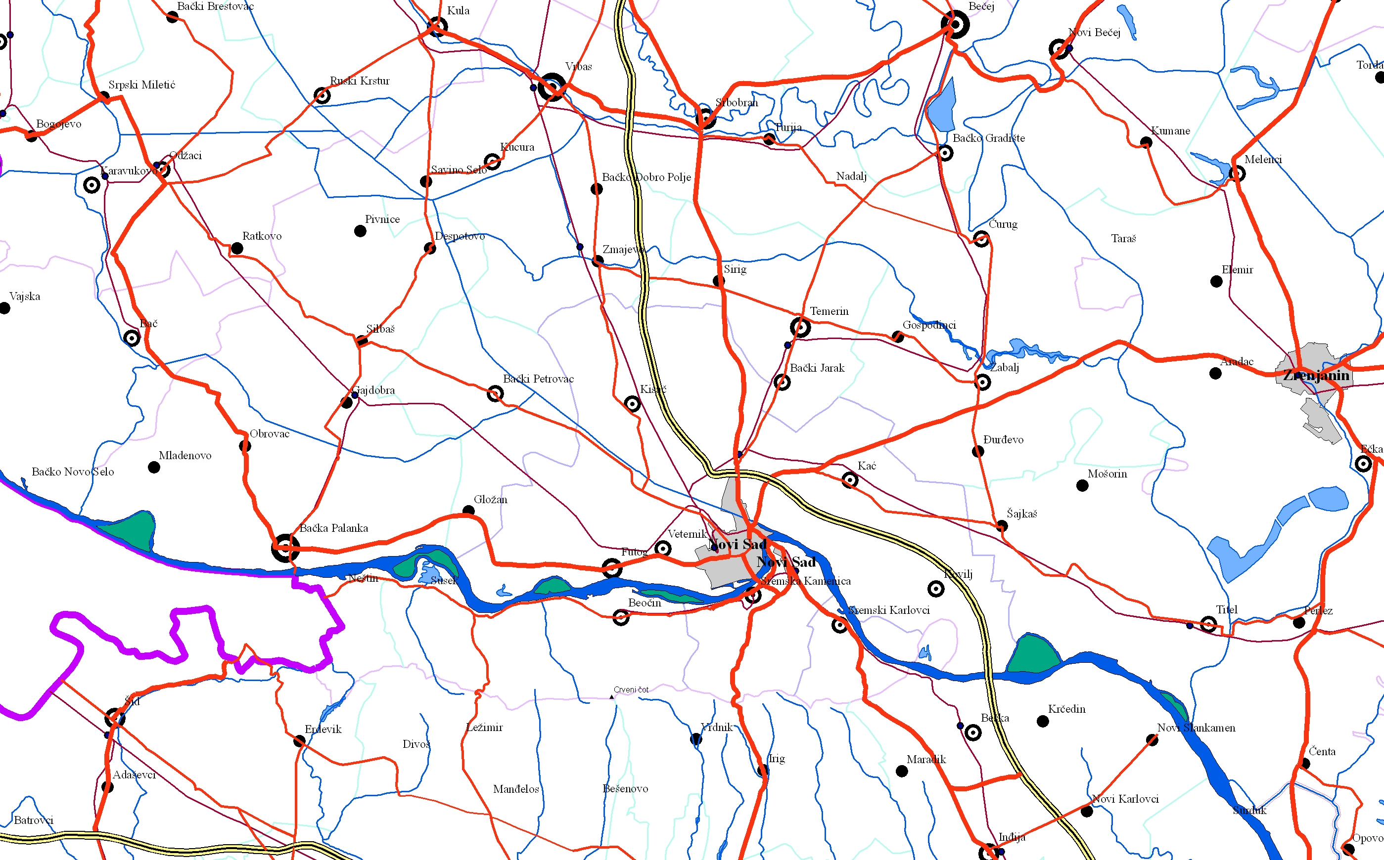
EuroRegionalMap | EuroRegionalMap (ERM) is a pan-European dataset containing topographic information at the scale 1:250 000 covering 51 European countries and territories … | Serbia | Oct. 30, 2017 | Republic Geodetic Authority | otherRestrictions |
|
|||
|
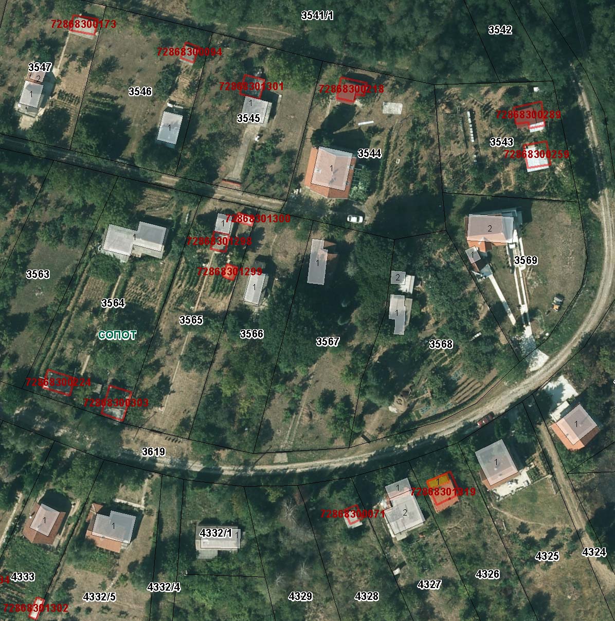
Records of identified changes on objects | Records of identified changes on objects includes information about changes of objects on the territory of the Republic of Serbia … | Serbia | Jan. 1, 2019 | Republic Geodetic Authority | otherRestrictions |
|
Showing
3
of
3
records