Metadata
Showing
8
of
8
records
(filtered)
Applied filters:
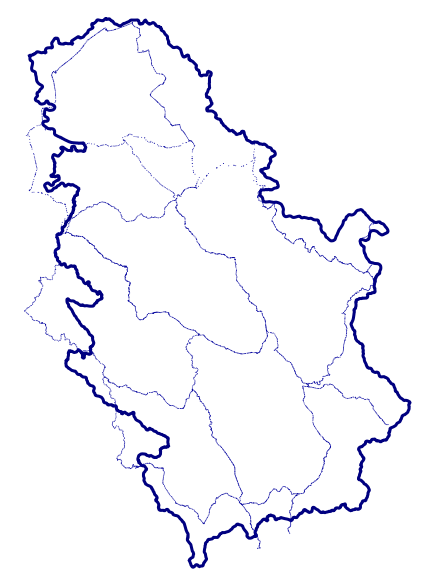
Country: Serbia
×
Topic Category: elevation
×
Keywords: Elevation
×
Clear all filters

Showing
8
of
8
records