Metadata
Showing
4
of
4
records
(filtered)
Applied filters:
Country: Serbia
×
Responsible Party: PWMC Srbijavode
×
Keywords: Potential flooding
×
Clear all filters
| Preview |
Title
|
Abstract
|
Country
|
Resource Type
|
Publication Date
|
Responsible Party
|
Topic Categories
|
Keywords
|
Access Constraints
|
Actions |
|---|---|---|---|---|---|---|---|---|---|---|
|
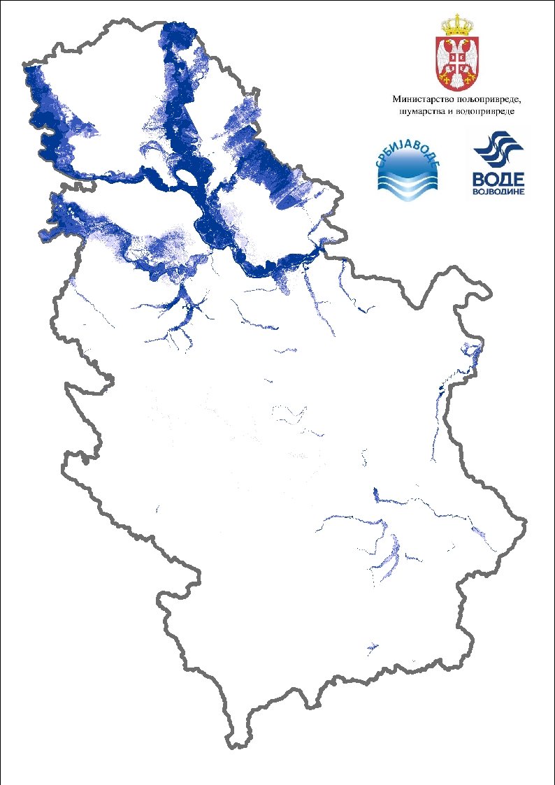
Flood risk maps | Flood risk maps are created for each significant flood area determined by the preliminary flood risk assessment. For the purposes … | Serbia | Dataset | None | PWMC Srbijavode | copyright |
|
||
|
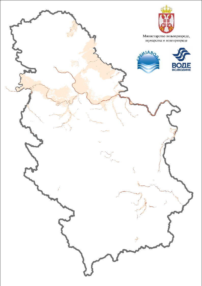
Flood risk maps | Flood hazard maps are created for each significant flood area determined by a preliminary flood risk assessment. For the purposes … | Serbia | Dataset | None | PWMC Srbijavode | copyright |
|
||
|
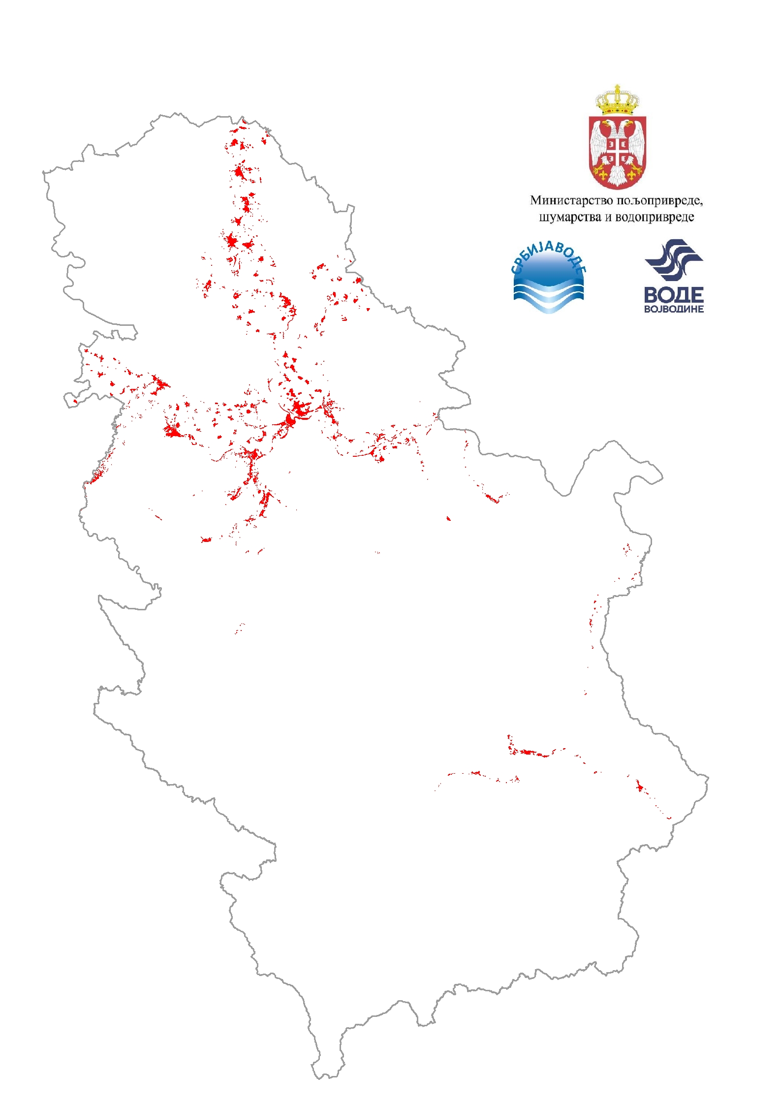
Flood risk maps - speed display | Flood hazard maps are created for each significant flood area determined by a preliminary flood risk assessment. For the purposes … | Serbia | Dataset | None | PWMC Srbijavode | copyright |
|
||
|
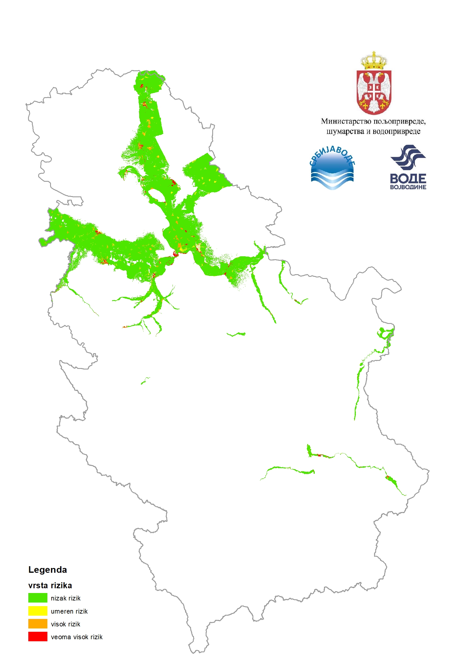
Flood risk maps / Total risk | Flood risk maps are created for each significant flood area determined by the preliminary flood risk assessment. For the purposes … | Serbia | Dataset | None | PWMC Srbijavode | copyright |
|
Showing
4
of
4
records