Metadata
Showing
2
of
2
records
(filtered)
| Preview |
Title
|
Abstract
|
Country
|
INSPIRE Theme
|
Publication Date
|
Responsible Party
|
Topic Categories
|
Keywords
|
Access Constraints
|
Actions |
|---|---|---|---|---|---|---|---|---|---|---|
|
OpenStreetMap Traffic Points for Serbia | Traffic related points from OpenStreetMap for Serbia | Serbia | Oct. 19, 2024 | OpenStreetMap Contributors | Open Database License |
|
|||
|
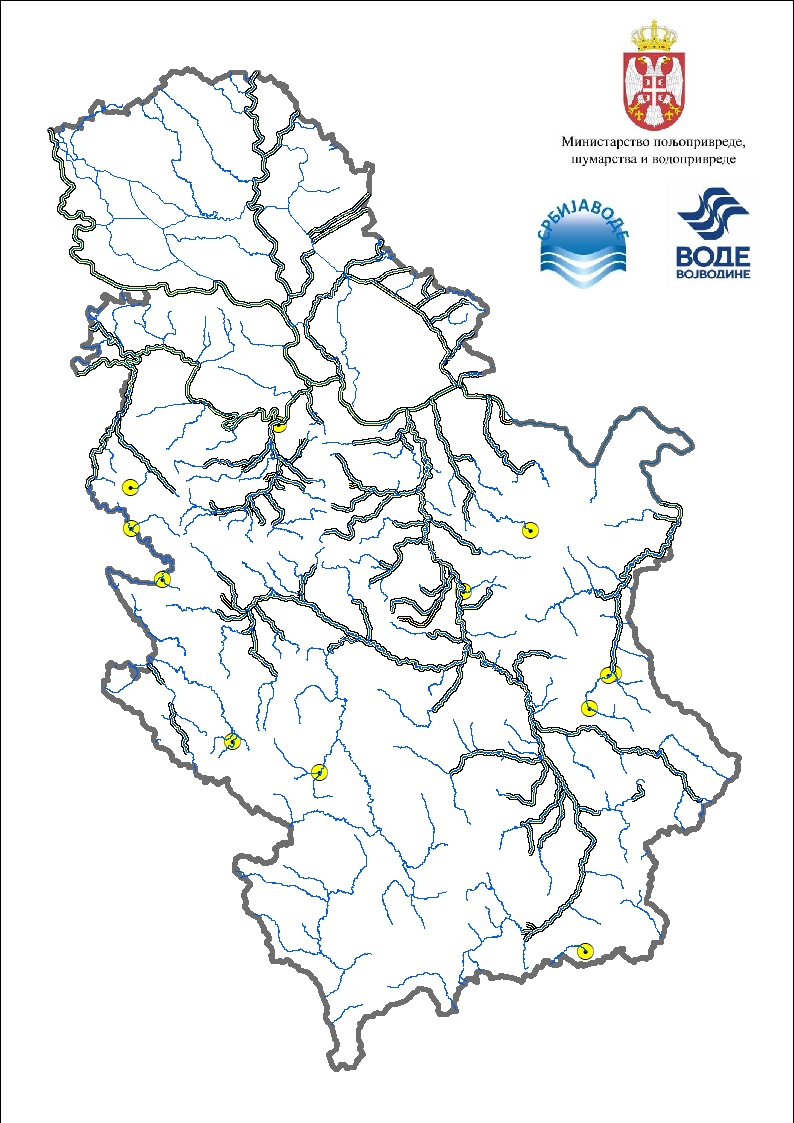
Significantly flooded areas | A significant flood area is an area where a significant flood has been recorded in the past and/or which is … | Serbia | None | PWMC Srbijavode | copyright |
|
Showing
2
of
2
records