Metadata
Showing
3
of
3
records
(filtered)
Applied filters:
Topic Category: structure
×
INSPIRE Theme: UG: Utility and Governmental Services
×
Clear all filters
| Preview |
Title
|
Abstract
|
Country
|
INSPIRE Theme
|
Publication Date
|
Responsible Party
|
Topic Categories
|
Keywords
|
Access Constraints
|
Actions |
|---|---|---|---|---|---|---|---|---|---|---|
|
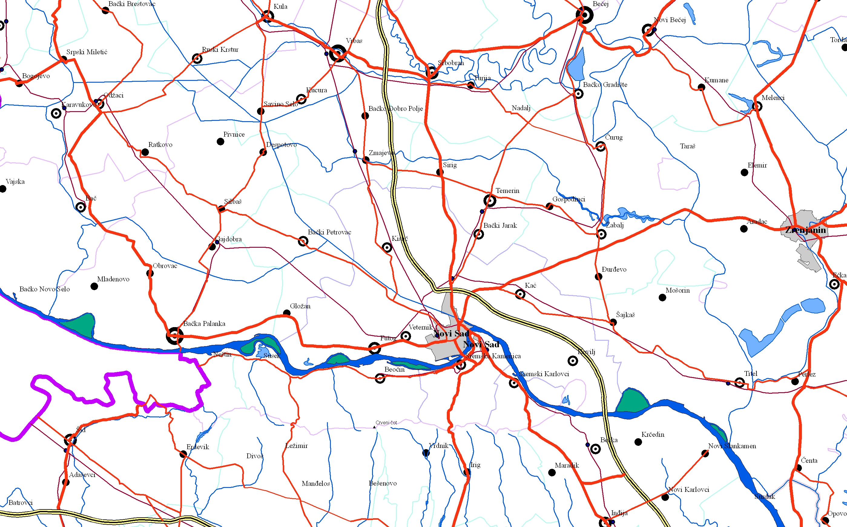
EuroRegionalMap | EuroRegionalMap (ERM) is a pan-European dataset containing topographic information at the scale 1:250 000 covering 51 European countries and territories … | Serbia | Oct. 30, 2017 | Republic Geodetic Authority | otherRestrictions |
|
|||
|
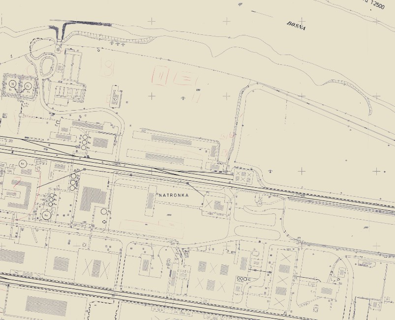
Geodetic plans | A geodetic plan is a detailed representation of a smaller part of the Earth's surface and all objects located on … | Bosnia and Herzegovina | Jan. 1, 2013 | Federal Administration for Geodetic and Property Legal Affairs | other Restrictions |
|
|||

|
Topographic maps - Topographic data set | Cartographic Base 1:20 000 is a set of entities that have modeled natural and artificial objects on the earth's surface, … | Serbia | Aug. 20, 2016 | Republic Geodetic Authority | otherRestrictions |
|
Showing
3
of
3
records