Metadata
Showing
2
of
2
records
(filtered)
Applied filters:
Keywords: 3D
×
Clear all filters
| Preview |
Title
|
Abstract
|
Country
|
INSPIRE Theme
|
Publication Date
|
Responsible Party
|
Topic Categories
|
Keywords
|
Access Constraints
|
Actions |
|---|---|---|---|---|---|---|---|---|---|---|
|
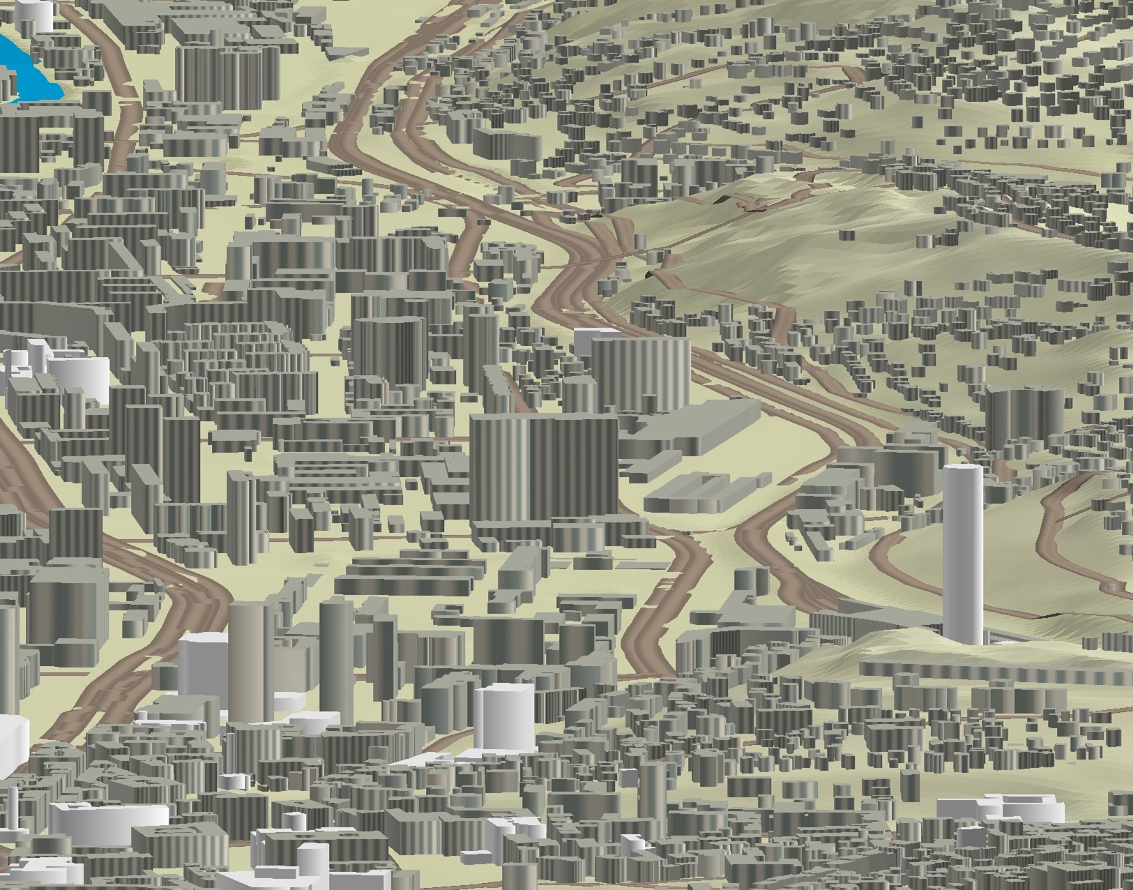
3D objects of Urban Areas of Sarajevo Canton | The Sarajevo Canton Development Planning Institute, through the project "Updating the Basic Topographic Map 1:5,000 of Urban Areas of the … | Bosnia and Herzegovina | None | Sarajevo Canton Development Planning Institute | restricted |
|
|||
|
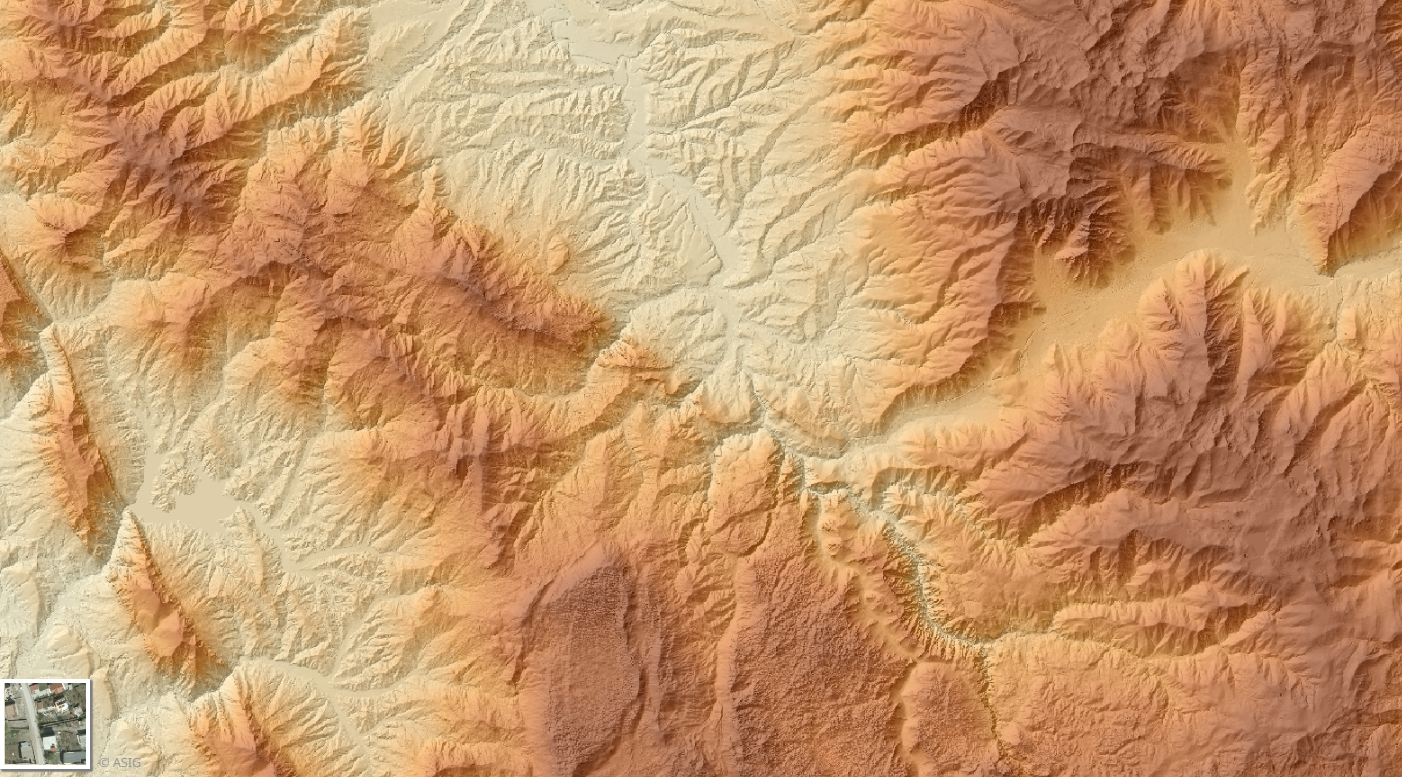
Digital Terrain Model (MDT 2015- 2017) 3D | The Digital Terrain Model (DTM) describes the three-dimensional shape of the Earth's surface, including all static features located on it. … | Albania | Sept. 16, 2019 | State Authority for Geospatial Information | copyright |
|
Showing
2
of
2
records