Metadata
Showing
2
of
2
records
(filtered)
Applied filters:
Topic Category: imageryBaseMapsEarthCover
×
Keywords: Administrative unit
×
Clear all filters
| Preview |
Title
|
Abstract
|
Country
|
Resource Type
|
Publication Date
|
Responsible Party
|
Topic Categories
|
Keywords
|
Access Constraints
|
Actions |
|---|---|---|---|---|---|---|---|---|---|---|
|
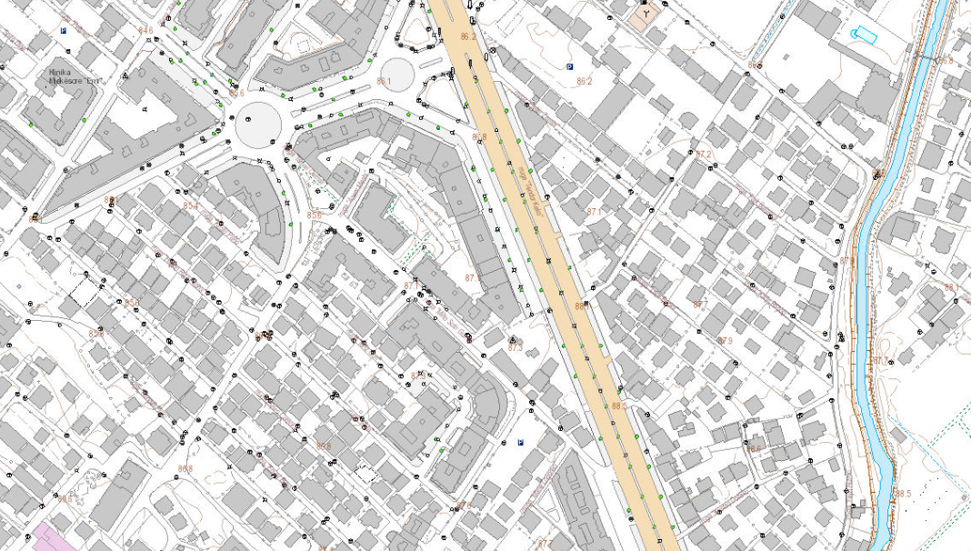
Base Map Image, Topographic Map 1:2000 | Base map of scale 1:2 000 in Image (raster) format, created by the State Authority for Geospatial Information (ASIG) in … | Albania | Dataset | June 29, 2022 | State Authority for Geospatial Information | copyright |
|
||
|
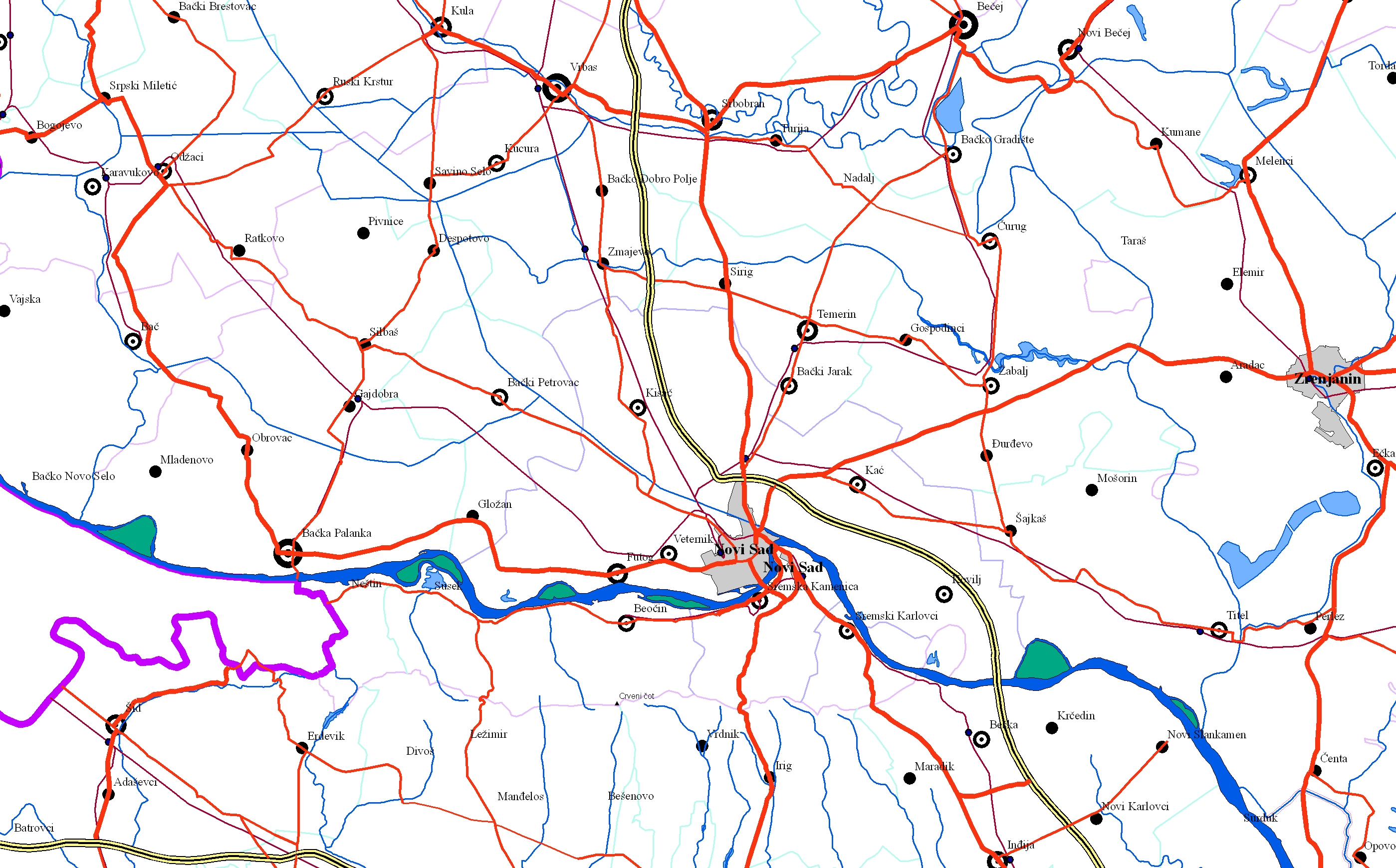
EuroRegionalMap | EuroRegionalMap (ERM) is a pan-European dataset containing topographic information at the scale 1:250 000 covering 51 European countries and territories … | Serbia | Dataset | Oct. 30, 2017 | Republic Geodetic Authority | otherRestrictions |
|
Showing
2
of
2
records