Metadata
Showing
3
of
3
records
(filtered)
| Preview |
Title
|
Abstract
|
Country
|
Resource Type
|
Publication Date
|
Responsible Party
|
Topic Categories
|
Keywords
|
Access Constraints
|
Actions |
|---|---|---|---|---|---|---|---|---|---|---|
|
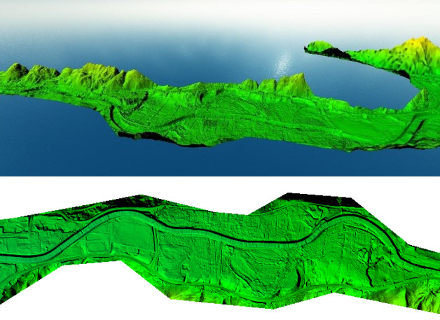
Digital Terrain Model (LiDAR) 2018 | digital terrain model (DTM) is a way of representing the terrain surface in digital form. Aerial laser scanning (LiDAR technology) … | Bosnia and Herzegovina | Dataset | None | Federal Administration for Geodetic and Property Legal Affairs | other Restrictions |
|
||
|
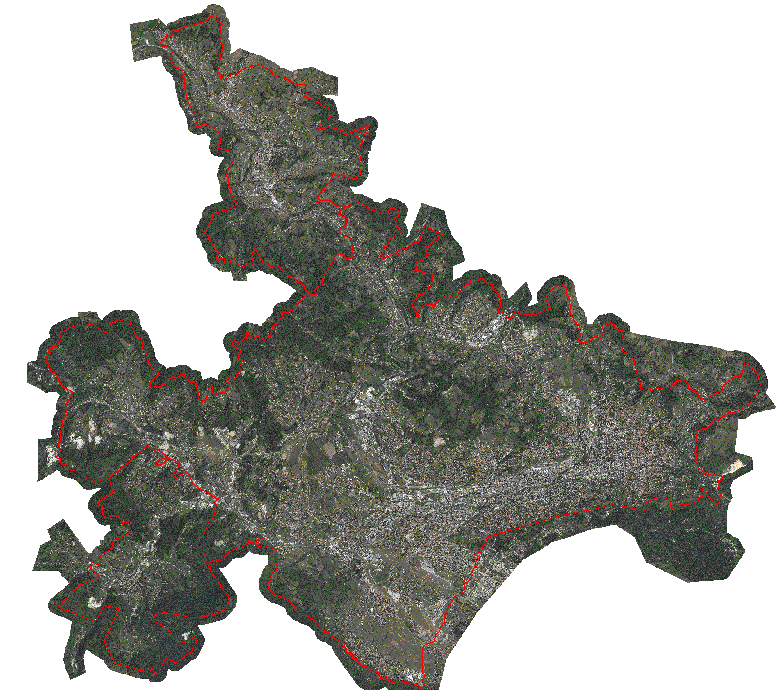
Orthophoto map of the urban area of the Sarajevo Canton | An orthophoto is an aerial/satellite image of the ground in digital raster form, which has been geometrically corrected using special … | Bosnia and Herzegovina | Dataset | None | Sarajevo Canton Development Planning Institute | other Restrictions |
|
||
|
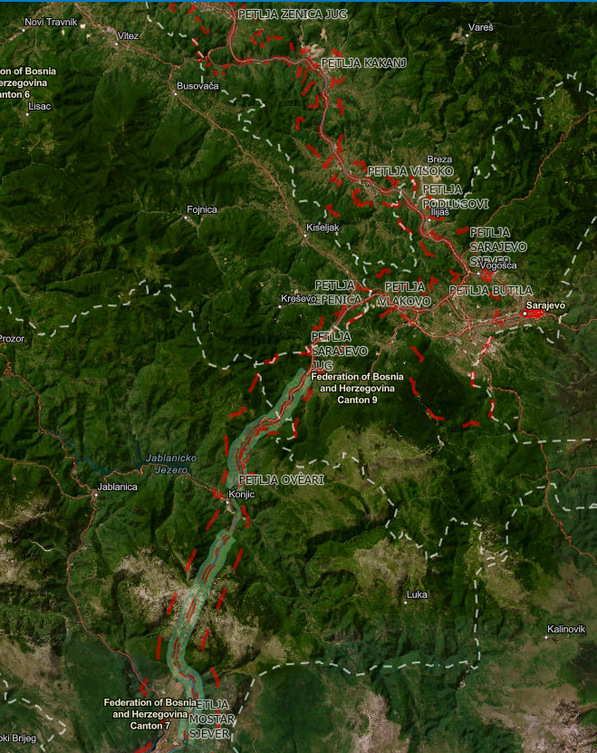
Spatial plan "Highway Corridor Vc" | Spatial plan of the area of special characteristics of importance for the Federation of BiH "Motorway on Corridor Vc" for … | Bosnia and Herzegovina | Dataset | None | Federal Ministry of Physical Planning | other Restrictions |
|
Showing
3
of
3
records