Metadata
Showing
2
of
2
records
(filtered)
| Preview |
Title
|
Abstract
|
Country
|
INSPIRE Theme
|
Publication Date
|
Responsible Party
|
Topic Categories
|
Keywords
|
Access Constraints
|
Actions |
|---|---|---|---|---|---|---|---|---|---|---|
|
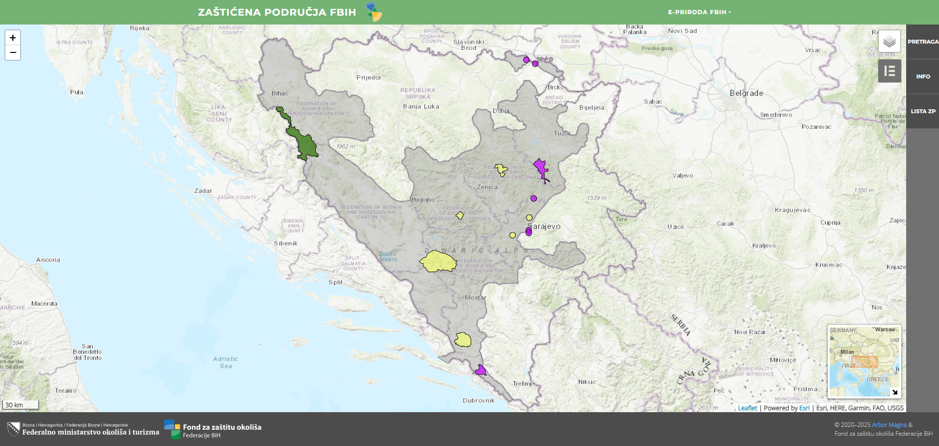
Protected areas of the Federation of Bosnia and Herzegovina | protected area is a clearly defined geographical area, recognized and intended to achieve long-term conservation of nature, multi-beneficial functions of … | Bosnia and Herzegovina | Jan. 25, 2021 | Environmental Protection Fund of the Federation of Bosnia and Herzegovina | other Restrictions |
|
|||
|
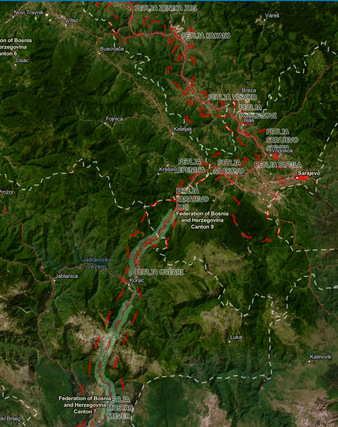
Spatial plan "Highway Corridor Vc" | Spatial plan of the area of special characteristics of importance for the Federation of BiH "Motorway on Corridor Vc" for … | Bosnia and Herzegovina | None | Federal Ministry of Physical Planning | other Restrictions |
|
Showing
2
of
2
records