Metadata
Showing
2
of
2
records
(filtered)
| Preview |
Title
|
Abstract
|
Country
|
INSPIRE Theme
|
Publication Date
|
Responsible Party
|
Topic Categories
|
Keywords
|
Access Constraints
|
Actions |
|---|---|---|---|---|---|---|---|---|---|---|
|
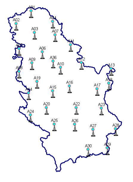
Geodetic reference CORS network of Serbia - AGROS | Geodetic reference CORS network of Serbia - AGROS, is a permanent service of precise GNSS positioning and navigation for the … | Serbia | June 1, 2008 | Republic Geodetic Authority | otherRestrictions |
|
|||
|
🖼️
|
Land Cover Serbia 2022 | Land cover classification for Serbia | Serbia | Sept. 2, 2025 | Republic Geodetic Authority | none |
|
Showing
2
of
2
records