Metadata
Showing
3
of
3
records
(filtered)
Applied filters:
Responsible Party: State Authority for Geospatial Information
×
Keywords: Cover
×
Clear all filters
| Preview |
Title
|
Abstract
|
Country
|
INSPIRE Theme
|
Publication Date
|
Responsible Party
|
Topic Categories
|
Keywords
|
Access Constraints
|
Actions |
|---|---|---|---|---|---|---|---|---|---|---|
|
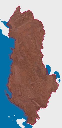
Orthoimagery Coverage 2024 | Information on the coverage area and technical specifications of orthoimagery for the year 2024. The data are in accordance with … | Albania | Oct. 1, 2024 | State Authority for Geospatial Information | copyright |
|
|||
|
🖼️
|
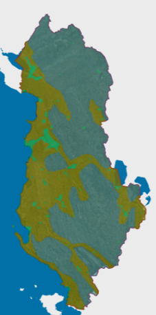
Orthoimagery Coverage 2025 | Information on the coverage area and technical specifications of orthoimagery for the year 2025. The data are in accordance with … | Albania | Aug. 13, 2025 | State Authority for Geospatial Information | copyright |
|
|||
|
Orthoimagery overlay 2015 | Information on coverage areas and technical specifications of orthoimagery for the years 2015-2017. The data are in accordance with the … | Albania | March 16, 2018 | State Authority for Geospatial Information | copyright |
|
Showing
3
of
3
records