Metadata
Showing
3
of
3
records
(filtered)
| Preview |
Title
|
Abstract
|
Country
|
Resource Type
|
Publication Date
|
Responsible Party
|
Topic Categories
|
Keywords
|
Access Constraints
|
Actions |
|---|---|---|---|---|---|---|---|---|---|---|
|
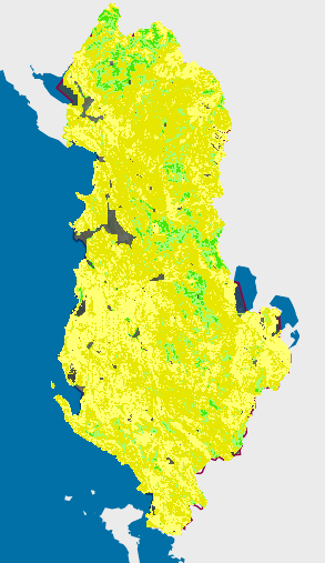
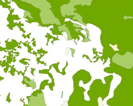
Forest cover elevation map | Height of forest trees over two meters. The map was produced by the National Forest Agency using LiDAR data from … | Albania | Dataset | March 23, 2023 | National Forestry Agency | copyright |
|
||
|
|
Forest cover elevation map | Height of forest trees over two meters. The map was produced by the National Forest Agency using LiDAR data from … | Albania | Dataset | March 23, 2023 | National Forestry Agency | copyright |
|
||
|
Generic Land Cover map | The map of the basic land cover is a presentation of the classified content of biophysical phenomena on the Earth's … | Serbia | Dataset | None | Republic Geodetic Authority | otherRestrictions |
|
Showing
3
of
3
records