Metadata
Showing
3
of
3
records
(filtered)
| Preview |
Title
|
Abstract
|
Country
|
Resource Type
|
Publication Date
|
Responsible Party
|
Topic Categories
|
Keywords
|
Access Constraints
|
Actions |
|---|---|---|---|---|---|---|---|---|---|---|
|
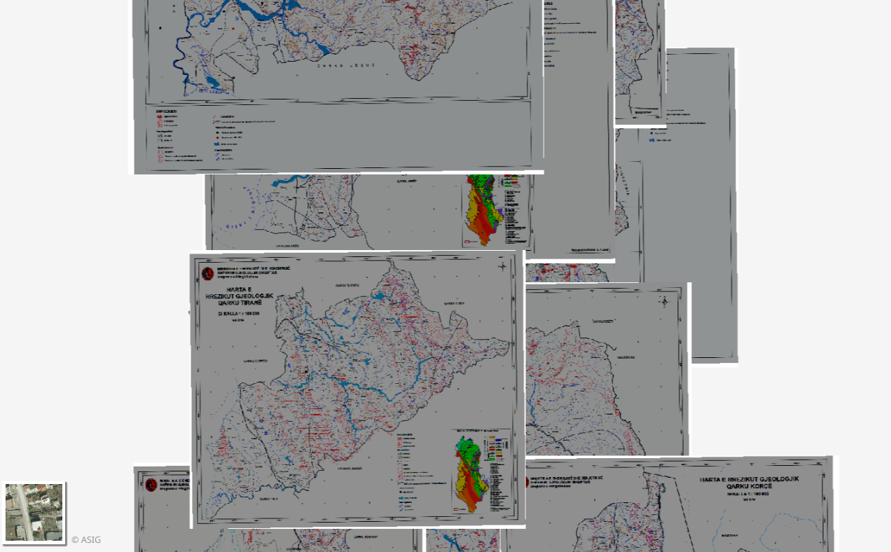
Geological Hazard, Thematic Maps | Geological Hazard Maps of 12 Regions in the Republic of Albania constructed according to geological maps of 1:100,000 scale tablets. … | Albania | Dataset | March 17, 2015 | Albanian Geological Survey | copyright |
|
||

|
Second High Accuracy Levelling network | The second high-accuracy leveling network consists of permanently stabilized and accessible fundamental and working benchmarks. Fundamental benchmarks are approximately evenly … | Serbia | Dataset | None | Republic Geodetic Authority | otherRestrictions |
|
||

|
Serbian spatial geodetic reference network - SREF | Serbian spatial reference network (SREF) implicitly defines the official national coordinate system, which is managed by the Republic Geodetic Authority. … | Serbia | Dataset | None | Republic Geodetic Authority | otherRestrictions |
|
Showing
3
of
3
records