Metadata
Showing
3
of
3
records
(filtered)
Applied filters:
Topic Category: inlandWaters
×
Keywords: Probability of occurrence
×
Clear all filters
| Preview |
Title
|
Abstract
|
Country
|
Resource Type
|
Publication Date
|
Responsible Party
|
Topic Categories
|
Keywords
|
Access Constraints
|
Actions |
|---|---|---|---|---|---|---|---|---|---|---|
|
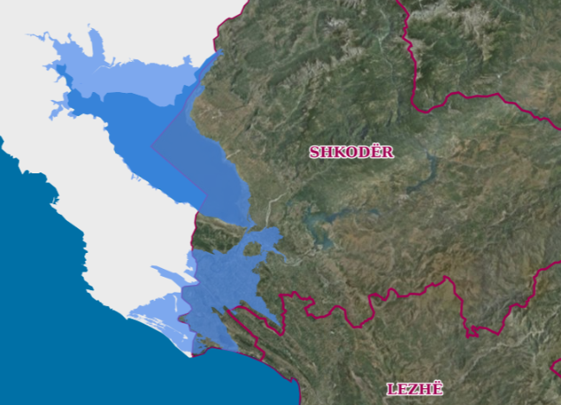
Drin-Bune Basin, Flood Risk Areas | Map of flood risk areas in the Drin-Buna basin depending on the recurrence periods. The data are in accordance with … | Albania | Dataset | Oct. 18, 2021 | Water Resources Management Agency | copyright |
|
||
|
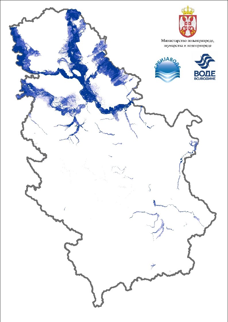
Flood risk maps | Flood hazard maps are created for each significant flood area determined by a preliminary flood risk assessment. For the purposes … | Serbia | Dataset | None | PWMC Srbijavode | copyright |
|
||
|
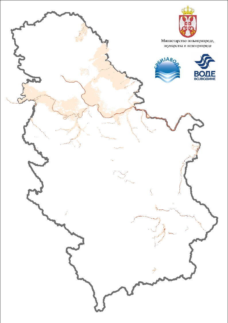
Flood risk maps - speed display | Flood hazard maps are created for each significant flood area determined by a preliminary flood risk assessment. For the purposes … | Serbia | Dataset | None | PWMC Srbijavode | copyright |
|
Showing
3
of
3
records