Metadata
Showing
1
of
1
records
(filtered)
Applied filters:
Responsible Party: Sarajevo Canton Development Planning Institute
×
Topic Category: Land Use / Planning Units
×
Keywords: canary
×
Clear all filters
| Preview |
Title
|
Abstract
|
Country
|
INSPIRE Theme
|
Publication Date
|
Responsible Party
|
Topic Categories
|
Keywords
|
Access Constraints
|
Actions |
|---|---|---|---|---|---|---|---|---|---|---|
|
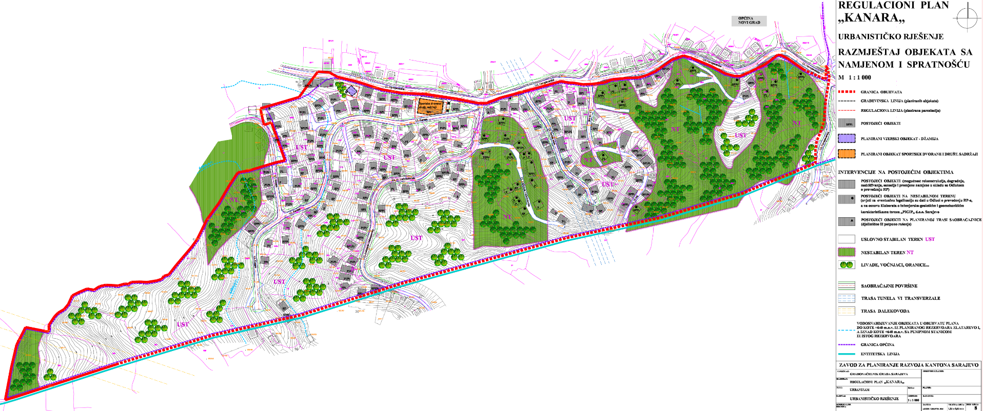
Regulatory plan "Kanara" | The area of 16.20 ha, included in the Plan boundary, is located on the northern slopes of Mojmilo Hill and … | Bosnia and Herzegovina | July 27, 2016 | Sarajevo Canton Development Planning Institute | other Restrictions |
|
Showing
1
of
1
records