Metadata
Showing
3
of
3
records
(filtered)
Applied filters:
Responsible Party: Republic Geodetic Authority
×
Topic Category: imageryBaseMapsEarthCover
×
Keywords: land cover
×
Clear all filters
| Preview |
Title
|
Abstract
|
Country
|
Resource Type
|
Publication Date
|
Responsible Party
|
Topic Categories
|
Keywords
|
Access Constraints
|
Actions |
|---|---|---|---|---|---|---|---|---|---|---|
|
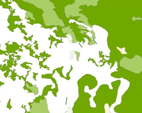
Generic Land Cover map | The map of the basic land cover is a presentation of the classified content of biophysical phenomena on the Earth's … | Serbia | Dataset | None | Republic Geodetic Authority | otherRestrictions |
|
||

|
Topographic map at a scale of 1 : 250 000 | Topographic map at a scale of 1 : 250 000 is a digital topographic map based on the cartographic database … | Serbia | Dataset | Sept. 30, 2020 | Republic Geodetic Authority | otherRestrictions |
|
||

|
Topographic maps - Topographic data set | Cartographic Base 1:20 000 is a set of entities that have modeled natural and artificial objects on the earth's surface, … | Serbia | Dataset | Aug. 20, 2016 | Republic Geodetic Authority | otherRestrictions |
|
Showing
3
of
3
records