Metadata
Showing
1
of
1
records
(filtered)
Applied filters:
Responsible Party: State Authority for Geospatial Information
×
Keywords: names
×
Clear all filters
| Preview |
Title
|
Abstract
|
Country
|
INSPIRE Theme
|
Publication Date
|
Responsible Party
|
Topic Categories
|
Keywords
|
Access Constraints
|
Actions |
|---|---|---|---|---|---|---|---|---|---|---|
|
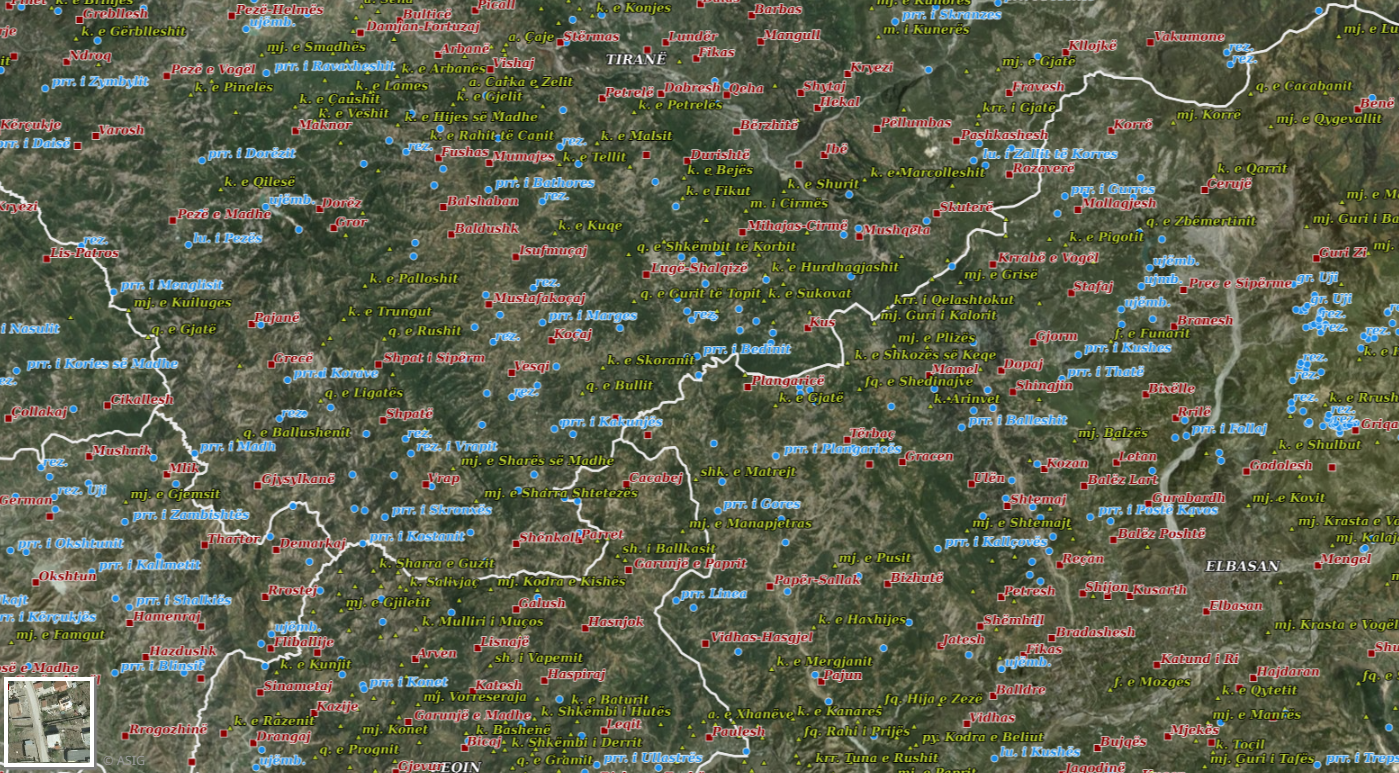
Geographical Names 2018 | Geographical names consist of three groups of geospatial data. Geographical names of relief (toponymy), hydrography, and villages/cities. Geographical names for … | Albania | July 23, 2018 | State Authority for Geospatial Information | copyright |
|
Showing
1
of
1
records