Metadata
Showing
2
of
2
records
(filtered)
| Preview |
Title
|
Abstract
|
Country
|
INSPIRE Theme
|
Publication Date
|
Responsible Party
|
Topic Categories
|
Keywords
|
Access Constraints
|
Actions |
|---|---|---|---|---|---|---|---|---|---|---|
|
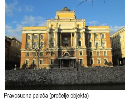
Protection report for the Urban Project "Post Office - Court" | The architectural ensemble covered by this study is located within a section of Branilaca Sarajeva and Kulovića streets, continues along … | Bosnia and Herzegovina | Jan. 1, 2018 | Public Institution "Cantonal Institute for the Protection of Cultural, Historical and Natural Heritage Sarajevo" | restricted |
|
|||
|
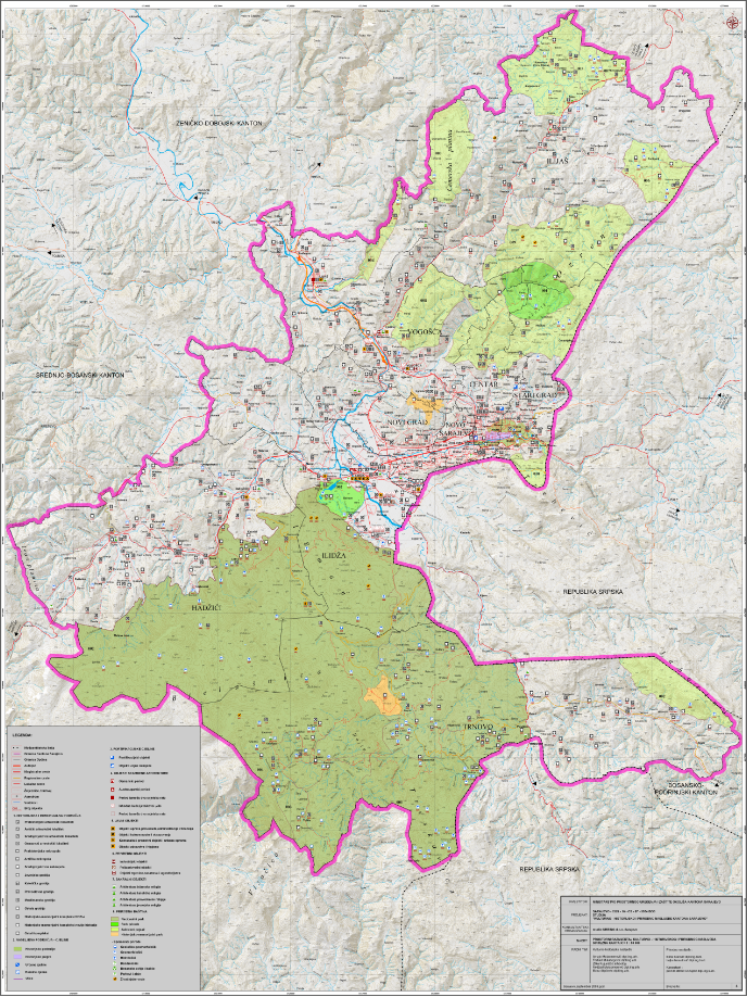
Study of the cultural, historical and natural heritage of the Sarajevo Canton | The aim of the Study is to determine the current and comprehensive valorization of cultural, historical and natural heritage and … | Bosnia and Herzegovina | Sept. 1, 2009 | Ministry of Physical Planning and Environmental Protection of Sarajevo Canton | other Restrictions |
|
Showing
2
of
2
records