Metadata
Showing
2
of
2
records
(filtered)
Applied filters:
Topic Category: location planningCadastre
×
Keywords: orthophoto
×
Clear all filters
| Preview |
Title
|
Abstract
|
Country
|
INSPIRE Theme
|
Publication Date
|
Responsible Party
|
Topic Categories
|
Keywords
|
Access Constraints
|
Actions |
|---|---|---|---|---|---|---|---|---|---|---|
|
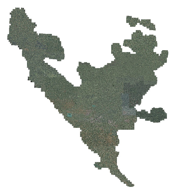
Orthophoto 2008 | Digital orthophoto images of the entire territory of the Federation of Bosnia and Herzegovina. The images were created as part … | Bosnia and Herzegovina | Jan. 1, 2009 | Federal Administration for Geodetic and Property Legal Affairs | other Restrictions |
|
|||
|
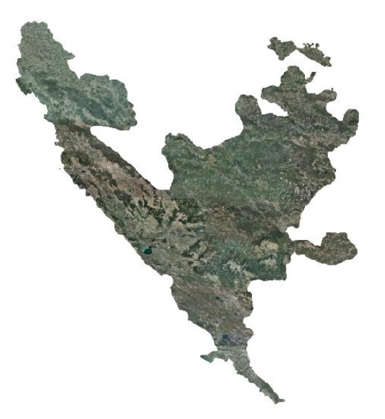
Orthophoto 2012 | Digital orthophoto images of the Federation of Bosnia and Herzegovina at scales of 1:2500 and 1:5000, created based on aerial … | Bosnia and Herzegovina | Jan. 1, 2013 | Federal Administration for Geodetic and Property Legal Affairs | other Restrictions |
|
Showing
2
of
2
records