Metadata
Showing
1
of
1
records
(filtered)
Applied filters:
Keywords: regional
×
Clear all filters
| Preview |
Title
|
Abstract
|
Country
|
INSPIRE Theme
|
Publication Date
|
Responsible Party
|
Topic Categories
|
Keywords
|
Access Constraints
|
Actions |
|---|---|---|---|---|---|---|---|---|---|---|
|
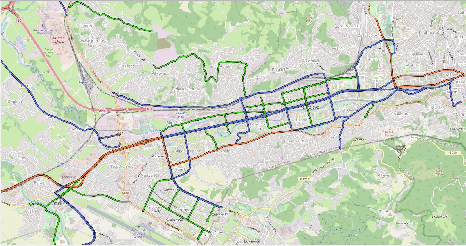
Regional road network in Sarajevo Canton | The regional road network of the Sarajevo Canton includes all roads that are under the responsibility of the Road Directorate … | Bosnia and Herzegovina | Jan. 1, 2020 | Sarajevo Canton Road Directorate | other Restrictions |
|
Showing
1
of
1
records